Geodienst
Welcome to the Geodienst! We are the spatial expertise centre and we offer free support for all students & staff with GIS and data management.
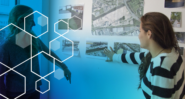
The Geodienst is the central point of contact for technological innovation in the field of spatial information technology including data, software, and visualization. Additionally, we can improve engagement with research output by developing (interactive) maps, for example.
Research support
The Geodienst can help you with:
-
Research proposals
-
Research methodology
-
Spatial data
-
Tooling
-
Analysis
-
Visualizations
-
Customized software
-
Spatial innovation
With our team we work through 100-200 calls a month from different faculties, the Hanze University of Applied Sciences or other partners. We have supported dozens of scientific publications through spatial analysis and visualizations.
We have worked on projects in the fields of Healthy ageing, Energy, Sustainability, Ecology, History, Archaeology, Disaster Risk Managment and more.
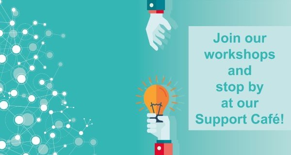
Workshops
The Geodienst facilitates researchers throughout the university with free workshops to enhance your skills in data-visualization, basic to advanced map making, or the many tools that are available supported by GIS. Check out our event calendar and sign up now!
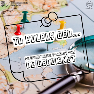
In To Boldly Geo , the spaceship Geodienst, led by Captain Govert and GeoDate, explores the world of mapmaking and geodata analysis. This podcast tells the story behind the maps and gives a stage to the researchers who make it possible. (Note: this podcast is in Dutch).
You can find the podcast on Spotify and Apple Podcasts. And if you have any questions, please feel free to email us at geodienst rug.nl.
Want to stay updated on what we do? Or see cool maps? Follow us on X, Instagram, Linkedin & Reddit!