PhD students explore the world of GIS
On February 23rd and March 1st, the Geodienst of the Center for Information Technology (CIT) provided two Geographical Information Systems (GIS) courses for PhD students, with the aim of teaching the basic skills of map making.
The course was led by Peter Merx, who guided the students step by step through the world of GIS with a series of exercises. GIS makes it possible to manage, analyze and ultimately process geodata into a map.
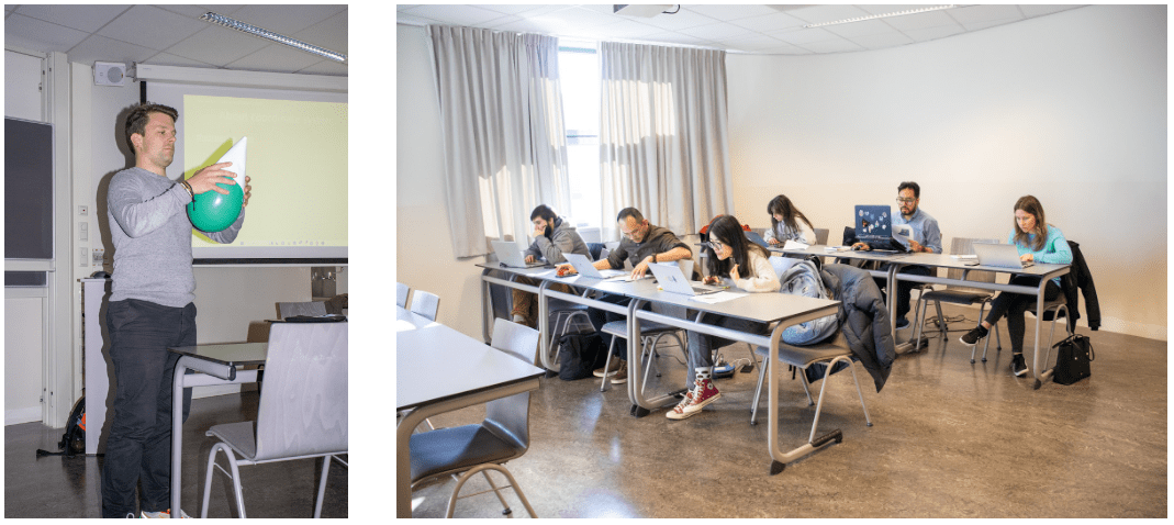
Participants came from the Campus Fryslân and the faculties of Spatial Sciences, Economics & Business Administration, and Behavioural & Social Sciences. Many of the students had virtually no experience with GIS, but quickly managed to produce beautiful and clear maps. They can use this knowledge in their further research, such as determining average water levels at Terschelling, planning sustainable urban logistics, or demonstrating correlations between exposure to pesticides, biological aging, and neurological diseases.
"The use of GIS can enrich a multitude of research possibilities" said one of the participants.
Interested in a GIS course?
The next GIS course for PhD students will be held in October. Check the current course offerings on the Corporate Academy website. Do you have questions about the course or want to sign up in advance? Email geodienst@rug.nl.
More news
-
-
15 September 2025
Successful visit to the UG by Rector of Institut Teknologi Bandung
-