Fotoreportage: de Kaartentovenaar
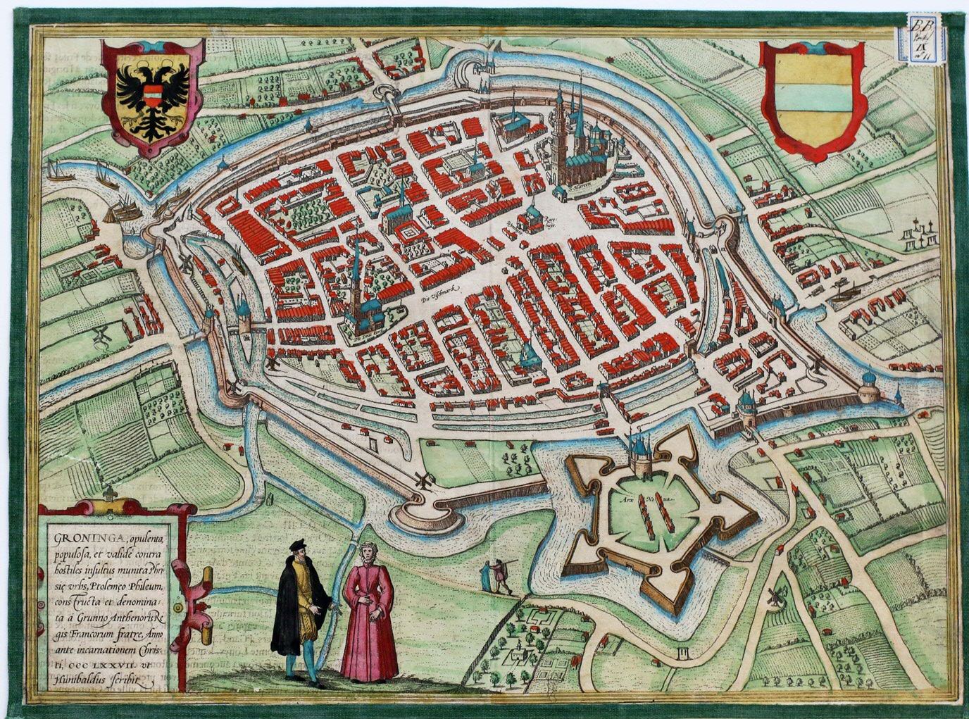
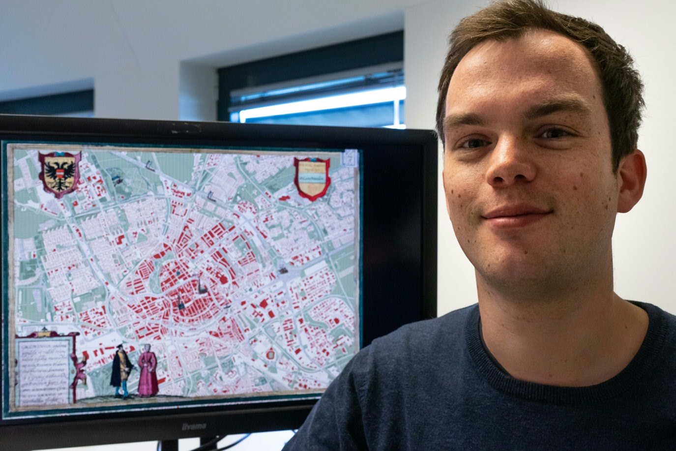
Gek op kaarten - zo omschrijft Leon van der Meulen zichzelf. Maar wie is dat niet? Bijna iedereen kijkt graag naar (oude) kaarten. Van der Meulen is een van de weinige gelukkigen die er ook echt mee werkt. Bij de Geodienst van de RUG maken hij en zijn collega’s kaarten ter ondersteuning van onderzoek, op basis van open geografische bronnen. ‘Het is mooi dat je een oud ambacht als cartografie nu kunt verrijken met nieuwe technieken en data,’ vertelt hij enthousiast. ‘In de collectie van de UB zag ik een oude kaart van Groningen, uit 1575. Die is prachtig, heel gedetailleerd. Ontzettend knap hoe de stad in beeld gebracht is met de beperkte middelen van destijds. In deze stijl wilde ik een nieuwe kaart van Groningen maken.’
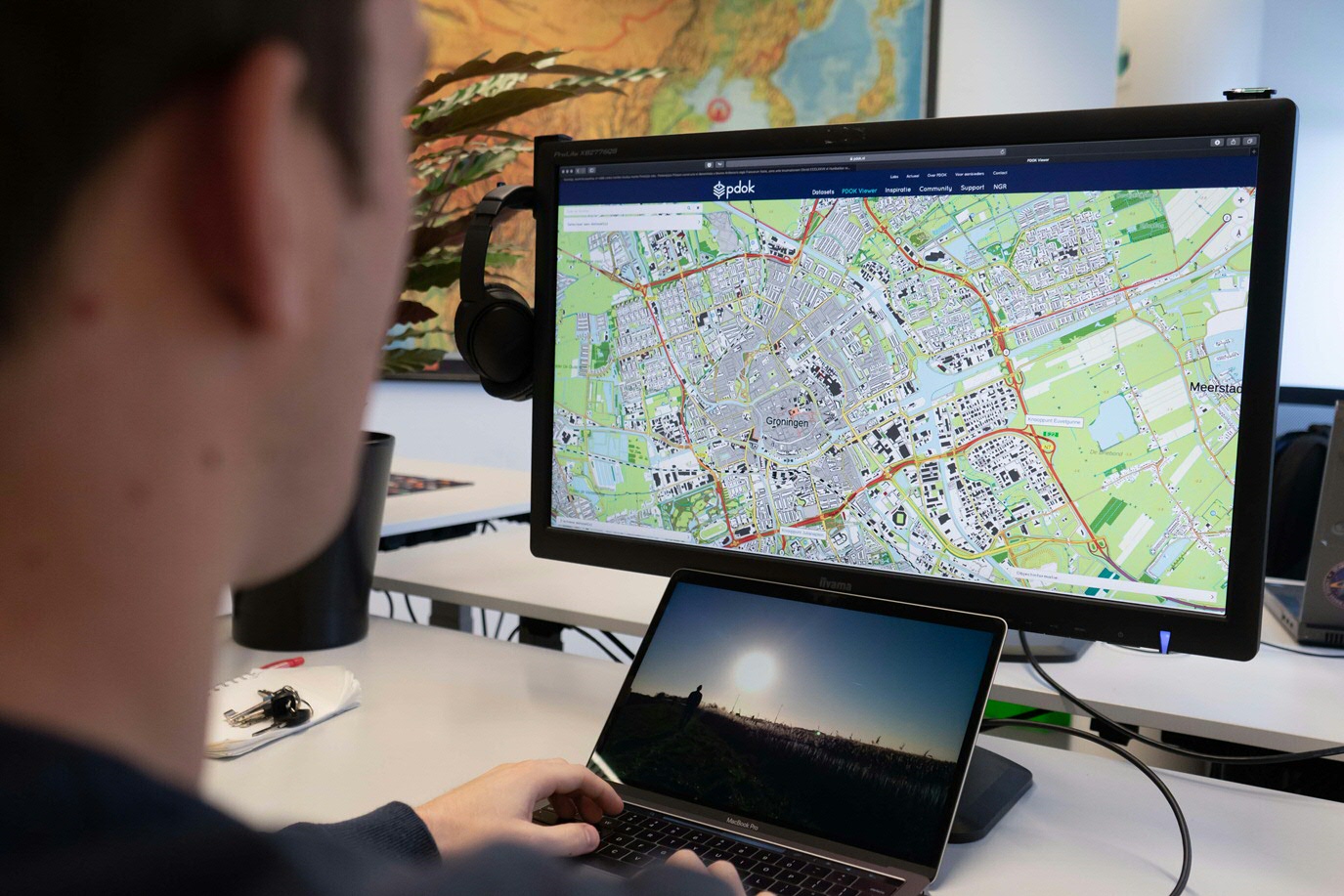
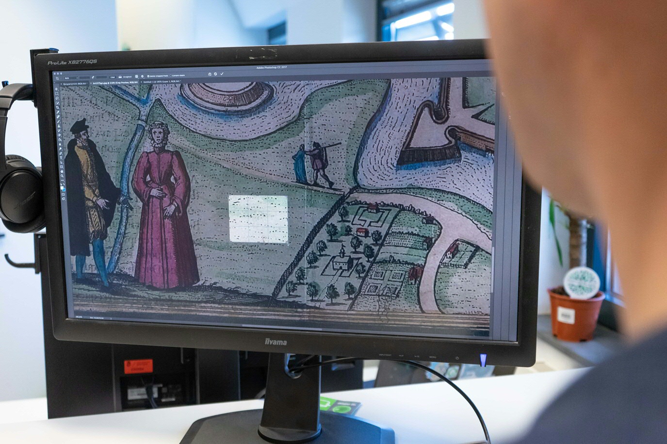
Het kadaster stelt gratis allerlei geografische data beschikbaar. Met de digitale kadasterkaart van Groningen als basis ging Van der Meulen aan de slag. Hij knipte kleine samples uit de gedigitaliseerde oude kaart en plakte die in de kadasterkaart. Bebouwing, wegen, groen, oevers: allemaal kregen ze een ‘oud sausje’ over zich heen. Zo krijgt de nieuwe plattegrond de ‘textuur’ van de oude.
(Tekst gaat verder onder de foto's)
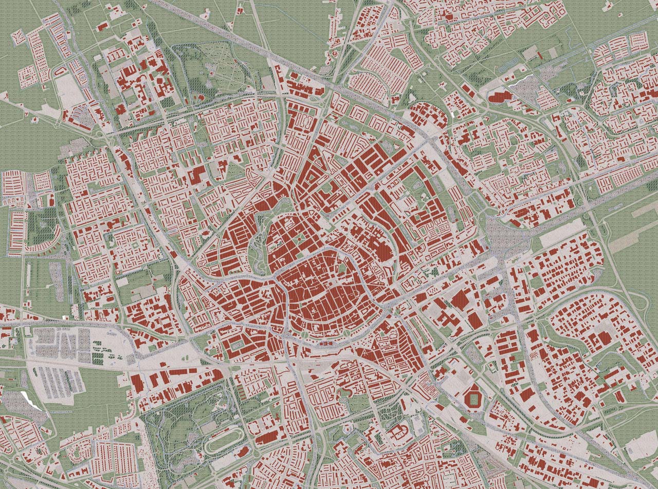
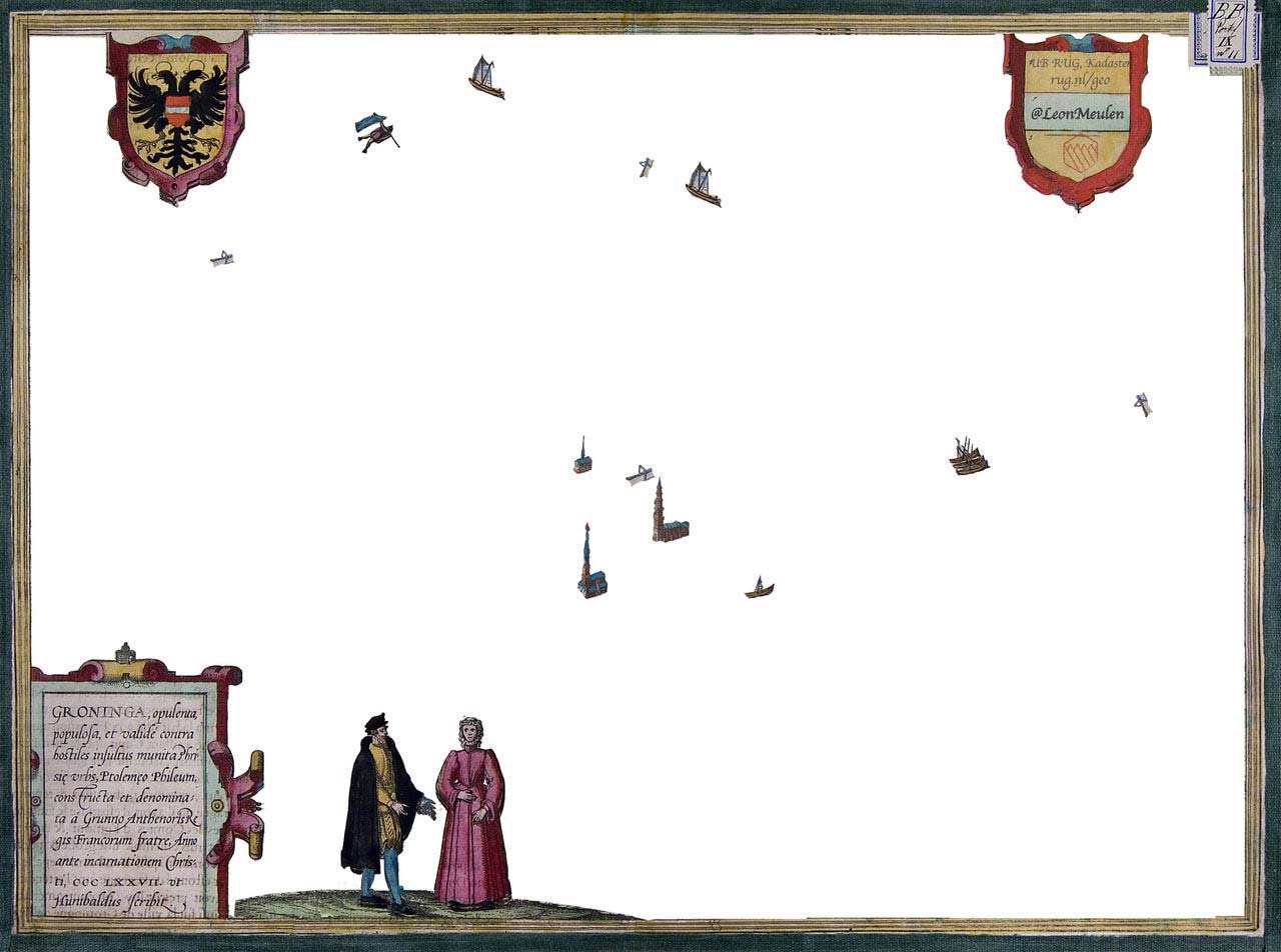
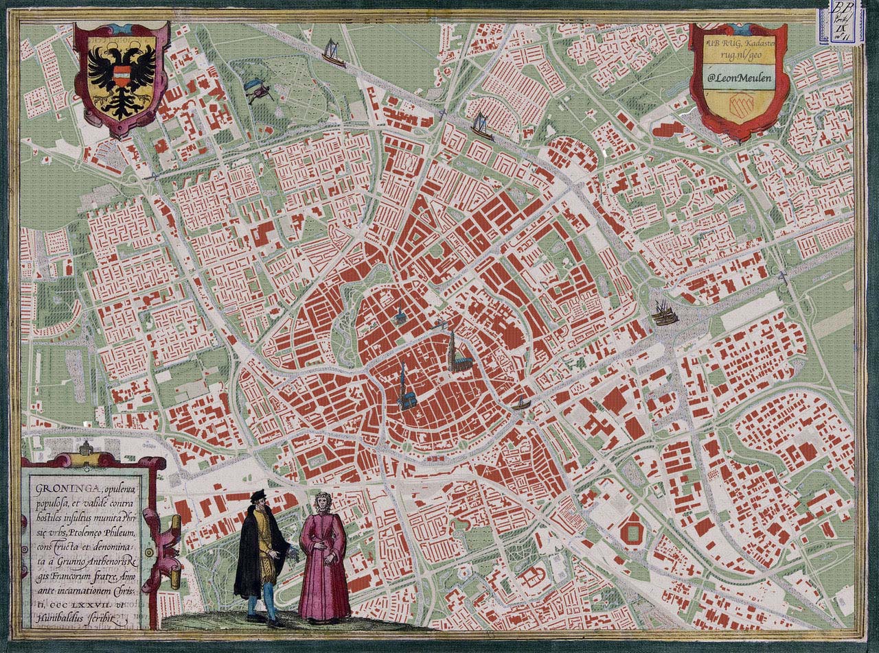
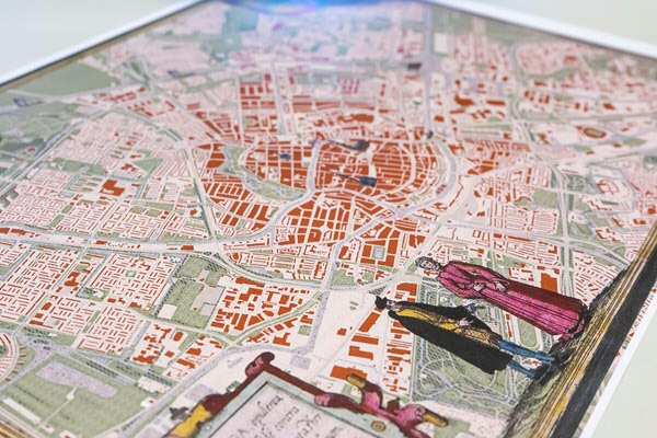
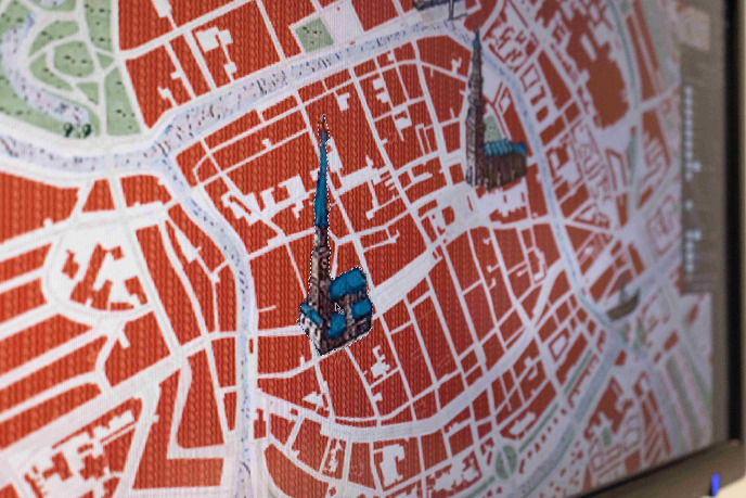
Een halve dag werk, en nog een dagje finetunen. ‘Het geeft aan hoeveel meer je nu kunt doen dankzij techniek.’ Het sluitstuk: de lijst. Van der Meulen: ‘De lijst eromheen, de versiering, maakt zo’n oude kaart heel mooi. Die heb ik ook gekopieerd. De combinatie van nieuwe plattegrond en oude lijst maakt zo’n nieuwe kaart heel speciaal.’ Wat valt Van der Meulen nu het meest op? ‘De kenmerken van de wijken. De veranderende inzichten over planning die je terugziet in stratenpatronen. Rechte blokken, bloemkoolwijken, speelsere varianten.’ Een post op twitter met een foto van de kaart leidde tot veel enthousiaste reacties en een idee om de kaart uit te geven. ‘Mooi toch,’ reageert Van der Meulen. ‘Dat zoiets relatief simpels zo tot de verbeelding spreekt!’
Meer over de Geodienst
Tekst: Eelco Salverda, fotos: Daniël Houben
Meer nieuws
-
-
26 juni 2026
Stevinpremie voor Iris Sommer
-
26 juni 2026
Start werving nieuwe voorzitter College van Bestuur