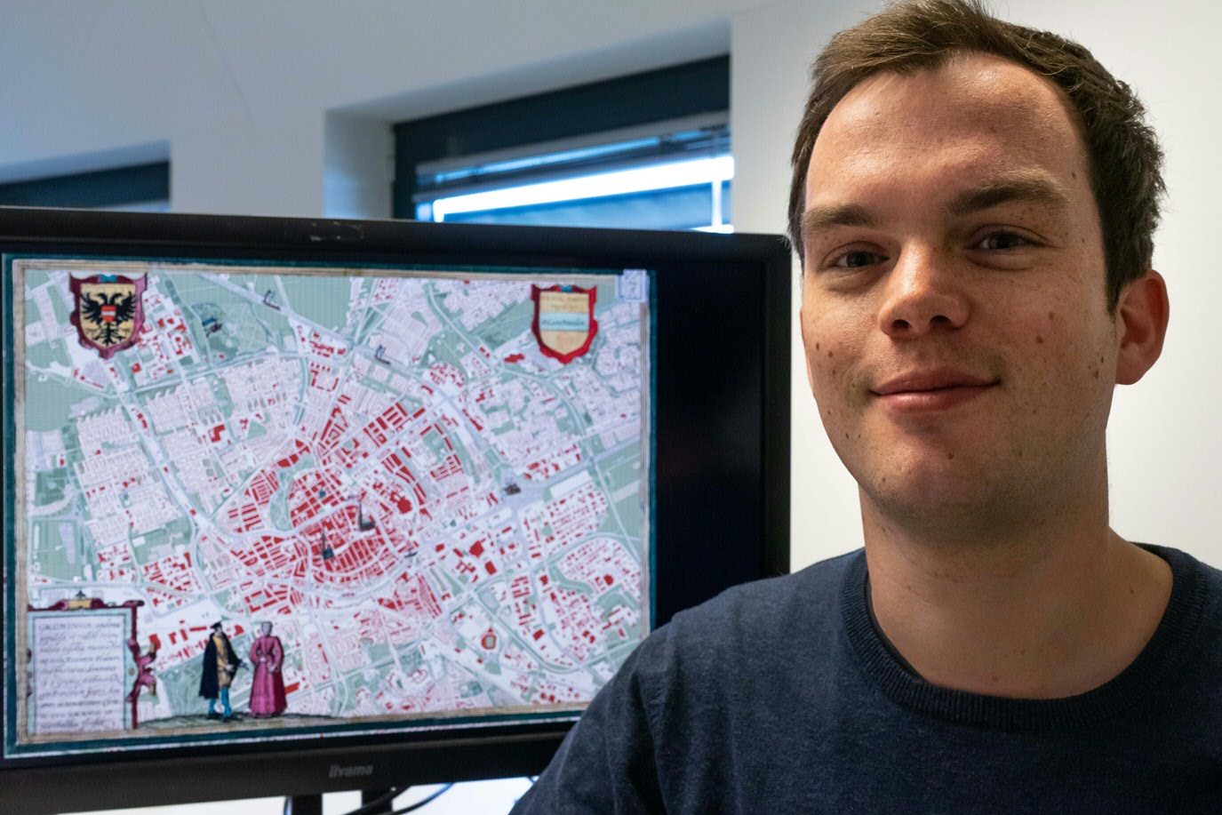
Photo report: the map magician
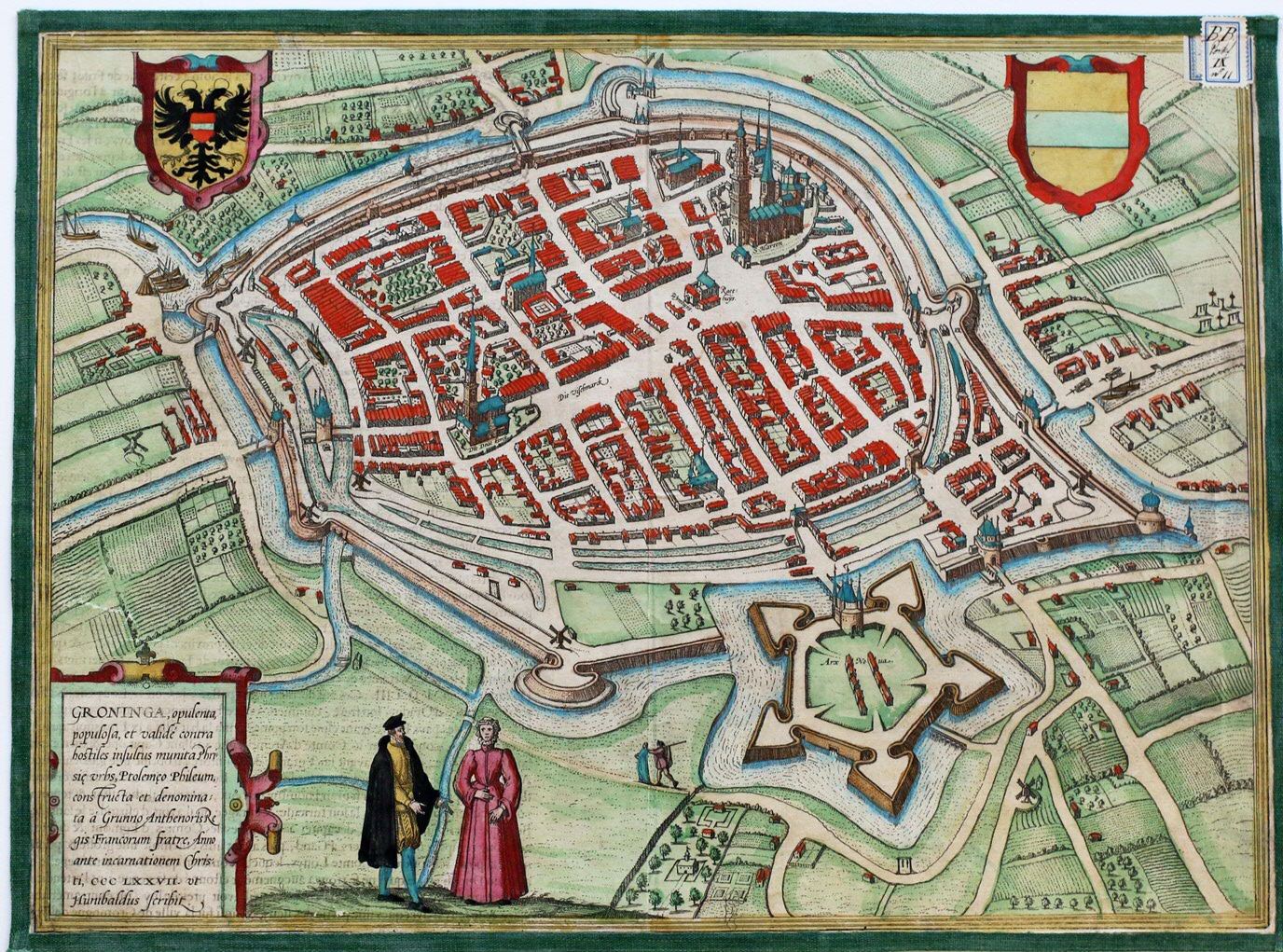
Mad about maps – that is how Leon van der Meulen describes himself. But then, who isn’t? While almost everyone enjoys looking at (old) maps, Van der Meulen is among the happy few that actually get to work with them. At the UG Geodienst, he and his colleagues create maps in support of research, based on open geographical sources. ‘It feels good to be able to enrich an old profession like cartography with new techniques and data’, he says enthusiastically. ‘In the University Library collection, I saw an old city plan of Groningen from 1575. It is gorgeous, very detailed. How they succeeded in visualizing the city, with the limited means available at the time, is extremely impressive. I wanted to create a new map of Groningen in the same style.’
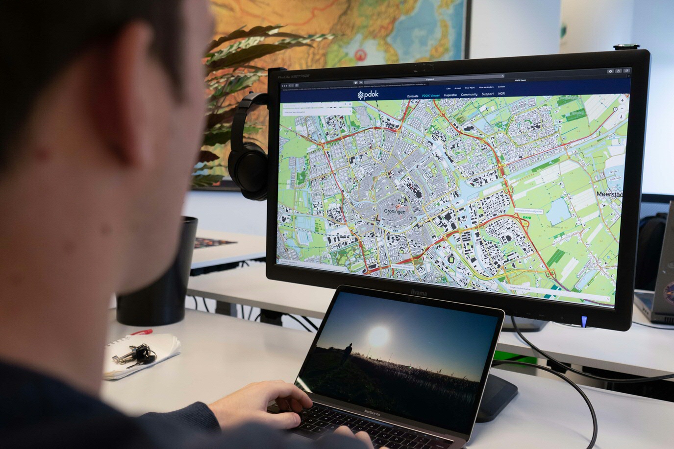
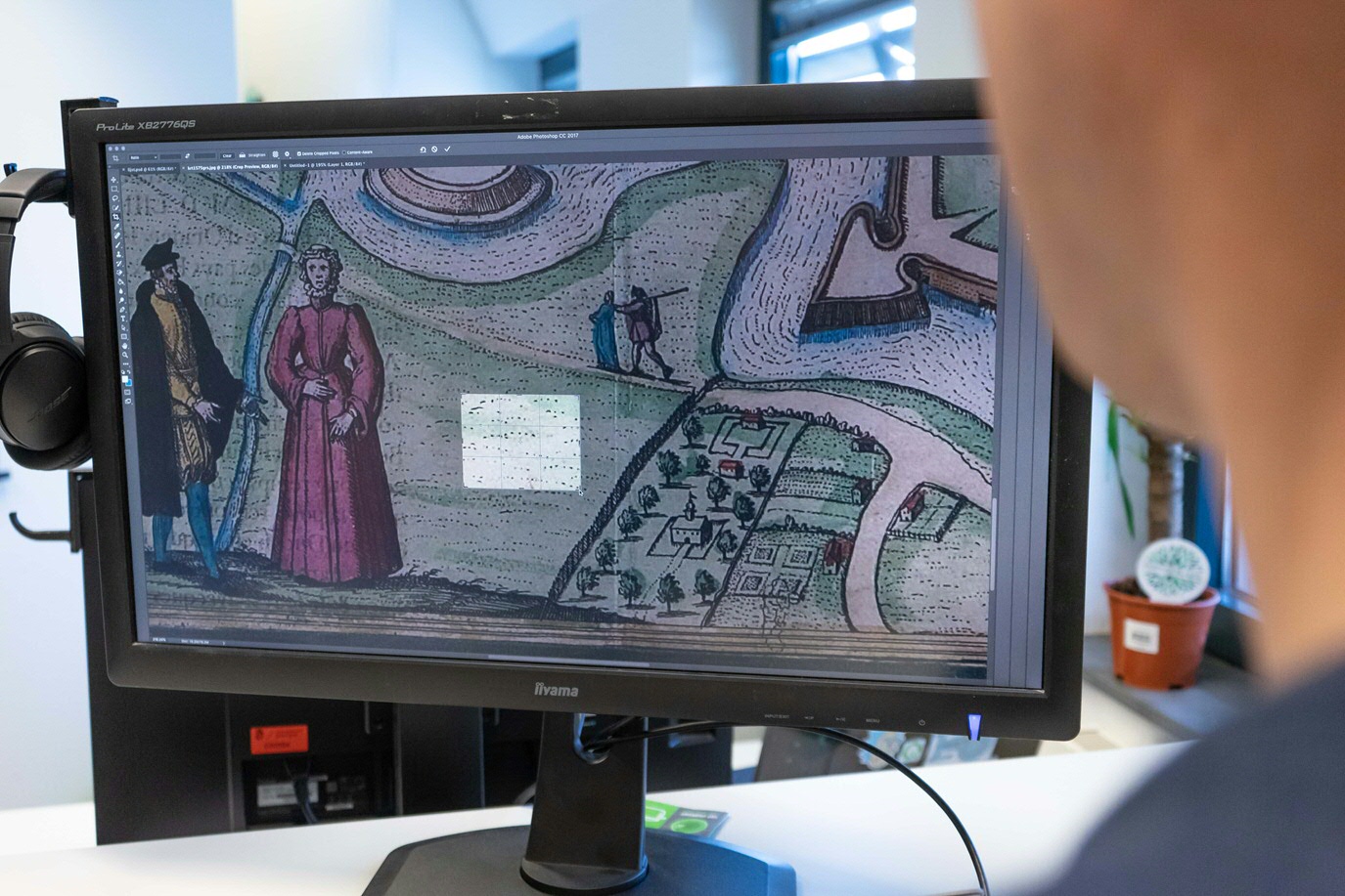
The Land Registry Office ('kadaster') has made all sorts of geographical data available for free. Using the digital Land Registry Office’s current map of Groningen, Van der Meulen set out on his project, cutting small samples from the digitized old map and pasting them onto the new one. Thus, buildings, roads, green spaces and canal banks were all covered in a ‘historical gloss’, adding the texture of the old city plan to the new one.
(Text continues below the photos)
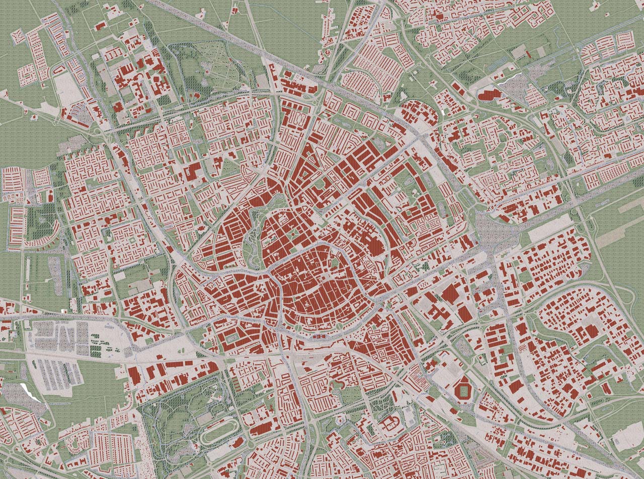
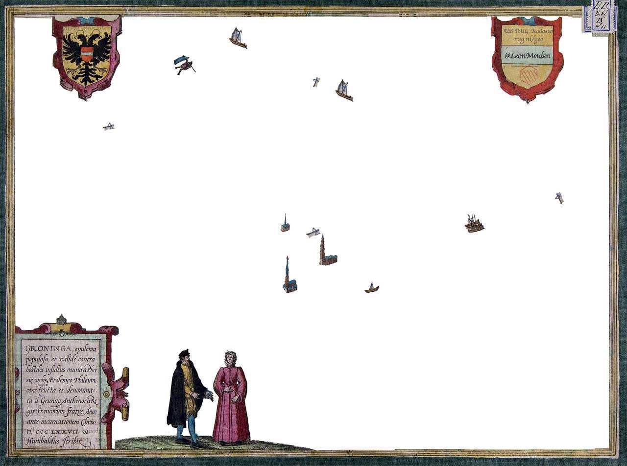
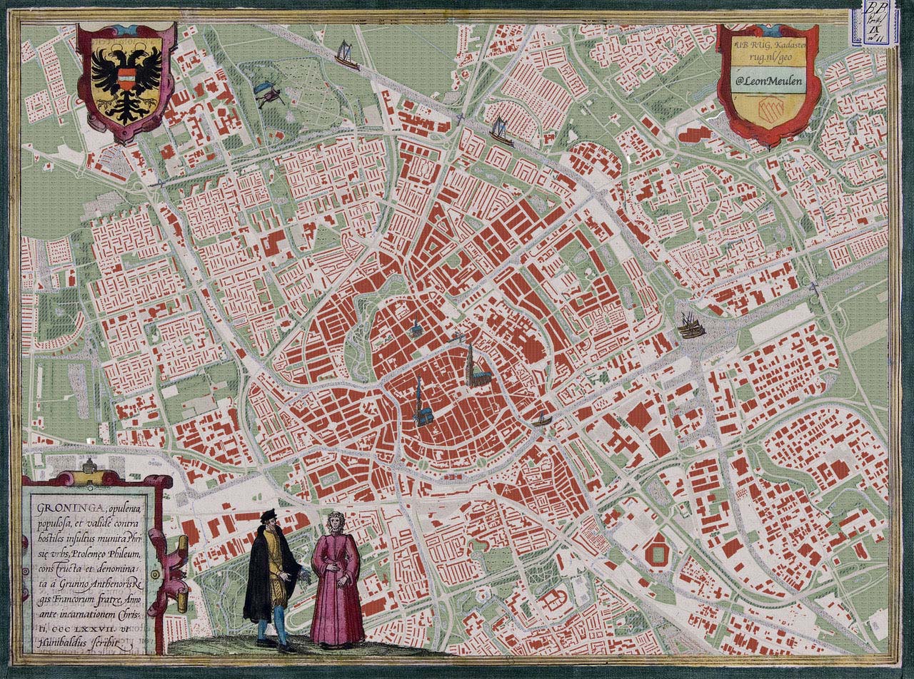
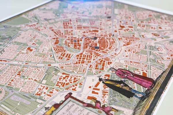
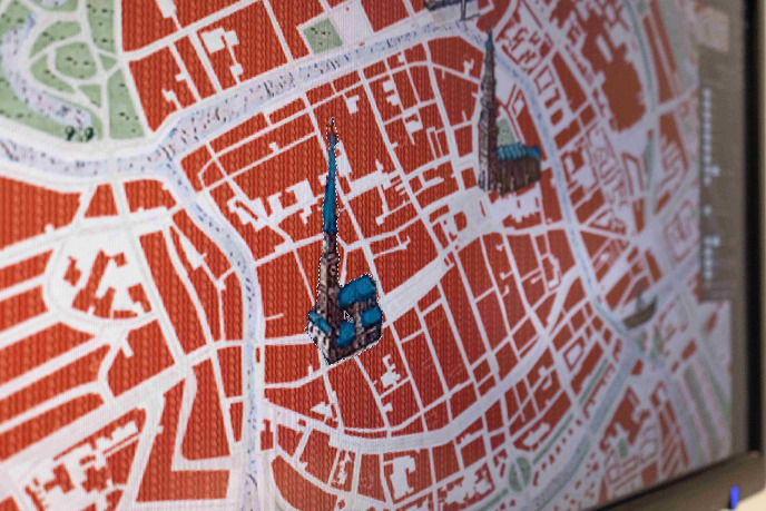
It took him only half a day, plus another day of fine-tuning. ‘This illustrates how much more you can get done today thanks to technology.’ And finally: the frame. Van der Meulen: ‘The frames around old maps, the ornamentation, is what makes them so beautiful, so I copied that too. The combination of a modern-day city plan and an old frame makes this new map very special.’ So, what is it that strikes Van der Meulen most? ‘The characteristics of the various districts. The changing views on urban planning that are reflected in the street grid. Straight blocks, the introverted, low-traffic residential areas of the 1970s and 80s known as bloemkoolwijken (literally: cauliflower districts because of their shape), more playful variations.’ A tweet that included a photograph of the map sparked many enthusiastic reactions and led to the idea of publishing the map. ‘Nice, isn’t it’, Van der Meulen responds, ‘that something so relatively simple appeals to the imagination so much!’
More information about the Geodienst
Tekst: Eelco Salverda, fotos: Daniël Houben
More news
-
-
15 September 2025
Successful visit to the UG by Rector of Institut Teknologi Bandung
-