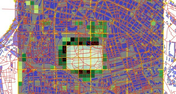
Geographic Information Systems
Spatial thinking is a key element in our educational programs. Geographical Information Systems (GIS) can play a powerful role in advancing spatial thinking. With GIS, data from multiple disciplines can be combined and analyzed, and GIS is required for many future jobs of our students. GIS in our programs include 3D data modelling, Mobile data collection, activity tracking, and space-time analysis.
Last modified:26 April 2018 10.56 a.m.