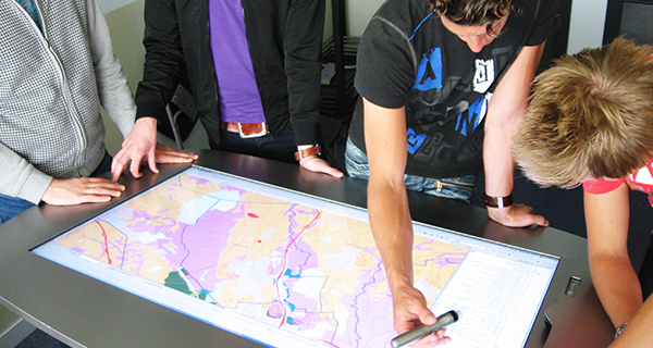
CASUS provides and supports training to students and professionals on
- Advanced geospatial technologies
- Collection, analysis and visualization of geospatial data
- How societal partners can use these in policy-making
CASUS provides and supports training to students and professionals on