Help map plastic in the Wadden Sea
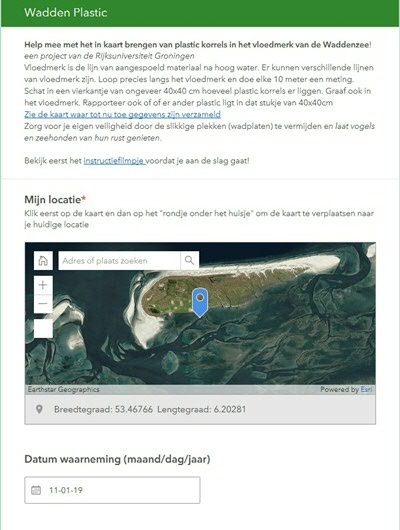
On 2 January 2019, freighter MSC Zoe lost about 291 containers north of the Wadden Islands. As a result, a lot of litter, including fine HDPE plastic granules, washed up on these islands and on the Frisian and Groningen shores. Plastic in particular can cause an environmental disaster, the scope of which cannot be predicted yet. Under the supervision of the University of Groningen, marine and coastal ecologists from all over the Netherlands gathered on the island of Schiermonnikoog in the past few days to find out what the best method is for mapping plastic. Marine ecologist Laura Govers: ‘We have chosen a method that allows everyone who cares about the Wadden Area to join us. On Friday 11 January, we launched the web application www.waddenplastic.nl (in Dutch) , allowing everyone to help map the microplastics that were widely spread in the whole Wadden region. Real citizen science so to say.’
The University of Groningen has been studying the special Wadden Sea ecosystem at Schiermonnikoog from biology field station ‘de Herdershut’ for over 40 years. The plastic granules that washed ashore can have large environmental consequences for the vulnerable Wadden Area, especially in and around Schiermonnikoog National Park, where the researchers made a preliminary inventory this week. The inventory aims to map which plastics have actually reached the shores of the island after the storm on 8 January, and where they are located. This information is required to put any future findings regarding plastic into perspective.
Professor Tjisse van der Heide: ‘Luckily, large pieces of plastic are easy to clear away. But you virtually need tweezers to pick up those small granules.’ The plastic and styrofoam that stays behind, including the granules, will over time degrade into micro- or even nanoplastics. ‘These plastics can be consumed by animals at the bottom of the food chain, such as worms, mussels and bottom dwellers. These animals are then eaten by larger animals such as birds and mammals. In the long term, the plastics will accumulate in the food chain.
Join us!
Dr Laura Govers ‘On www.waddenplastic.nl , everyone can help map the microplastics that have washed ashore in the Wadden Area after the container disaster. Hopefully, this will give us a clear, spatial image of where the granules are and whether there is a link with the high water mark. This could help immensely in organizing targeted clean-ups. In addition, these data may form a solid baseline for long-term research.’
Alongside the University of Groningen and the Royal Netherlands Institute for Sea Research (NIOZ), researchers from Wageningen Marine Research and Radboud University Nijmegen are also involved in the project.
The project also includes an instruction video.
More news
-
-
15 September 2025
Successful visit to the UG by Rector of Institut Teknologi Bandung
-