Implementing spatial intelligence that provides Delta regions access to ecosystem services | Weier Liu

Field | Discipline
Expertise
Summary
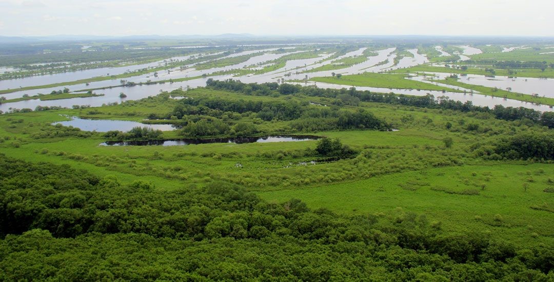
Deltas support enormous flows of materials and energy though its intricate biophysical processes, which makes them among the most important ecosystems to provide a vast range of ecosystem services (ESs) including supporting services of biodiversity and land formation, provisioning services of biomass, fresh water and energy resources, regulating services of climate change mitigation and water purification, and cultural services of aesthetics, education and tourism. Deltas’ ability to provide ecosystem goods and services supports large social and economic development. Anthropogenic pressure adds to challenges of climate change, makes deltas global hotspots of conflicting land use purposes, raising demands for ESs however weakening the ability of ecosystems to provide them. Therefore, intermediate options are needed for the alleviation of conflicts and sustainable use of deltas.
ESs cannot always coexist under certain management regimes, management choices and resulting land use changes may increase the delivery of particular service(s) at the expense of the other(s), i.e. trade-offs. Mono-functional planning efforts largely overlooked the bundling of ecosystem services and the variation of their production from different systems, sites and times. Therefore, more hybrid solutions combining civil engineering and natural processes need to be tested in a spatial and temporal explicit way, to determine their performance on limiting negative correlations between co-occurring ecosystem services. However, ESs are still poorly quantified in many cases due to oversimplification and variation of indicators. More biophysical process-based and spatial indicators are needed for detailed and true-to-life analysis of ESs and their relationship, but need to find a balance between oversimplifying natural processes that causes uncertainty and over-sophisticated results that lead to difficulties to interpret.
In face of environmental pressure and knowledge gaps discussed above, this project aims to answer the following questions:
1) How to link the quantification of critical deltaic ESs to natural processes?
2) How do environmental factors affect ES provision and what’re their relationships?
3) What will be the influence of land-use options on ESs and their trade-offs?
4) What’s the difference between correlations of ESs at different spatial scales and how to interpret that for spatial planning?
Supervision by
-
Promotor Prof. dr. A.P. (Ab) Grootjans | Integrated Research on Energy, Environment and Society - IREES | ESRIG, University of Groningen.
-
Co-promotor Dr. ir. S. (Sanderine) Nonhebel | Integrated Research on Energy, Environment and Society - IREES | ESRIG, University of Groningen.
-
Co-promotor Dr. H. (Huilin) Chen | Center for Isotope Research, ESRIG/University of Groningen.
More information and contact details can be found on the personal file of Weier Liu
| Last modified: | 05 June 2024 4.03 p.m. |