
Yesse and Traces of a Rich Heritage
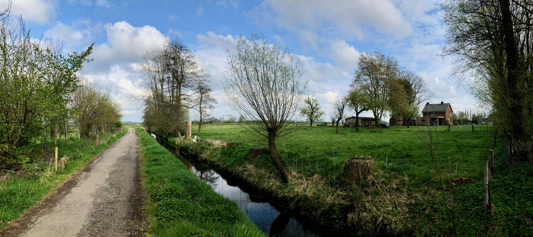
Partway along the eastern flank of the Hondsrug ridge in the green zone between Groningen and Haren, you will come across the quiet, secluded hamlet of Essen. Looking from there eastwards, you will see below you the Esserpolder, through whose meadows run the railway lines from Groningen to Zwolle and Winschoten. The area of land between these two railway lines is known as De Vork. Beyond De Vork, on the near side of the Winschoterdiep canal, is a business park. In the meadowland on the far side of the canal, you will probably spot the grass-covered landfill mound that belongs to recycling firm De Stainkoeln.
Nothing that you can see gives you any indication of this area’s archaeological value or the richness of its cultural and geographical past. Until recently, all the evidence lay buried beneath the clay. In the last few decades, however, different groups have started showing an interest in various aspects of this site’s rich heritage. The University of Groningen library is now the proud custodian of some of the most remarkable pieces of evidence that have been unearthed.
Convent grounds
For a period of almost 400 years (1215–1594), Essen was home to the Cistercian convent of Yesse. This was the second largest monastery in the province of Groningen and one of the largest convents in the medieval Netherlands. It owned no less than 3,173 hectares of land. It may also have been a pilgrimage site because of a miracle that had taken place there.
The only visible remnant is what is left of the canal that used to run around the convent. Everything else lies hidden beneath the turf. In 2015, ownership of the convent land was transferred to Het Groninger Landschap (a foundation dedicated to fostering public interest in local natural and cultural treasures) in order to safeguard its cultural heritage status and ensure continued public access. Annemiek Bos lives on the site where the convent church once stood. In 2016, she began to allow students of Archaeology at the University of Groningen access to her grounds. Each year, they carry out an excavation project there, under the supervision of Dr Stijn Arnoldussen. Their finds so far, which have included stained glass, indicate that the convent was richer than was first thought.
These days, there is a dedicated visitor centre on the site and a foundation that conducts and facilitates research, sharing its findings during lectures, walks and cycle tours. A special three-day event is due to take place in Essen and Groningen in April 2022 to commemorate the 800th anniversary of the visit to the convent of Yesse by the famous author and monk Caesarius van Heisterbach. The Groningen Archives have reconstructed the path that Caesarius must have taken in 1220 on his journey from Yesse to St. Martin's Church in Groningen city centre. This 'modern' pilgrimage is now a route in the Spacetime Layers App. It also tells the story of highlights along the way.
Esserpolder
In 2015, ProRail wanted to build a rail yard on De Vork and arranged for the usual archaeological survey to be conducted before commencing work. The archaeologists found traces of even earlier habitation. In fact, against all expectations, this area in the valley of the old Hunze river – which had always been assumed to be too wet for habitation – was found to be a veritable archaeological treasure trove. Since 2015, many further traces of continuous habitation have been found, some of which date back as far as 5,000 BCE. In the Middle Ages, this land surrounded, and was owned by, the convent of Yesse. The nuns used the sandy peat soil as pastureland.
Having discovered the historical and cultural significance of the Essenpolder, ProRail decided to create an archaeological park here as a way of both preserving the soil archive and increasing biodiversity. Visitors to the park learn about the area’s past. There are information panels explaining who has lived here over the centuries. There is even a reconstruction of an Iron age farm. All this provides context for our conceptualization of how the convent of Yesse and its grounds and farmland fitted into this rich historical landscape. The park was officially opened in the summer of 2019.
![L.A. Cohen, Loop van den Hondsrug, in de provincie en door de stad Groningen [The Hondsrug ridge running through the province and city of Groningen] (Leiden, 1842). The convent and the courses of the Hunze and the old Hunze rivers are also marked. UBG Backer 183](/library/_shared/images/bc/virtual-exhibitions/yesse/yesse-02.jpg)
Hunze river valley
The farmland belonging to the convent of Yesse stretched even further eastwards, right to the edge of what is now the Winschoterdiep canal and what was then part of the damp, peaty clay-soil valley of the Hunze river. The river itself played a significant role in convent life: it was linked to the canal around the convent and so was used to transport goods to and fro. Back then, the river meandered along the east side of the Hondsrug ridge, joined the Reitdiep waterway just north of Groningen and flowed into the Lauwerszee lake, which meets the sea. In the twentieth century, much of the Hunze was transformed into a canal and so it more or less disappeared as a river from the Drenthe and Groningen landscape. The Hunze now ends in the Winschoterdiep canal that flows via the Eems canal into the Eems river. All that remains beyond the Winschoterdiep canal is a narrow stream.
In 1995, nature foundations Het Groninger Landschap and Het Drentse Landschap and the Nature and Environment federations of Groningen and Drenthe decided to join forces with both provinces to restore certain key stretches of the original course of the Hunze and to create new nature reserves in the old valley. They named the project the Hunzevisie. It was such a success that in 2014, they decided to start work on restoring the entire valley, from the river’s source areas in Drenthe to where it enters the Wadden Sea (Hunzevisie 2030). The group is now developing new nature reserves between the key stretches, as well as nurturing the landscape’s special cultural features, such as the convent grounds.
The city of Groningen has a key role to play in the restoration of the Hunze. Part of the Hunzevisie 2030 project is a plan to restore the original course of the Hunze along the east side of the city. In recent years, Het Groninger Landschap has bought a large number of parcels of land to the east and southeast of Yesse and the Esserpolder so that the Hunze and the flora and fauna that once flourished in and around it can be restored. The result will be an area of huge cultural and historical significance, in which the landscape once again reflects the natural interactions between the convent, the surrounding farmland and the river.
![Groningensis agri vera descriptio [True description of the Groningen region], 1589. UBG, uklu 01-04-14](/library/_shared/images/bc/virtual-exhibitions/yesse/yesse-03.jpg)
Yesse and Groningen’s monastic heritage
The time is ripe to capitalize on all the interest and activity and to turn the spotlight on the convent of Yesse, which in turn means examining Groningen’s broader monastic heritage. There are very few visible traces left of the region’s monastic past. The only monastery that is still largely intact is the one in Ter Apel, built by the order of the Holy Cross. Other material remains can be found in Ten Boer (the monastery church), Thesinge (the church choir), Aduard (the infirmary) and Yesse (the soil archive). The 1589 map of Groningen shows a tiny part of the island of Schiermonnikoog in the top left-hand corner. Schiermonnikoog just happens to be home to our region’s only remaining working monastery. These Cistercian monks left their abbey in Diepenveen as recently as 2015 and took up residence on the island that was originally named after them.
Groningen’s monasteries have left us other clues. Sometimes there is an old geographical map showing where a monastery once stood, or we have books that we know were made in a particular monastery. In most cases, though, our knowledge is very limited. Often, we are not even sure of a monastery’s exact location, how large it was or what it looked like. It is therefore vital that we treasure every remaining trace as a valuable witness of the area’s rich past. As you can read in the seven stories that make up this digital exhibition, the University of Groningen Library is home to a number of the most precious of these remnants.
We would like to thank to Annemiek Bos, Bart Flikkema and Annelies Noordhof-Hoorn for their contributions and for sharing their knowledge. Special thanks go to Dr Stijn Arnoldussen for his exhibition-cum-reconstruction of the convent of Yesse and to Myrthe Westra and Iris Loois.